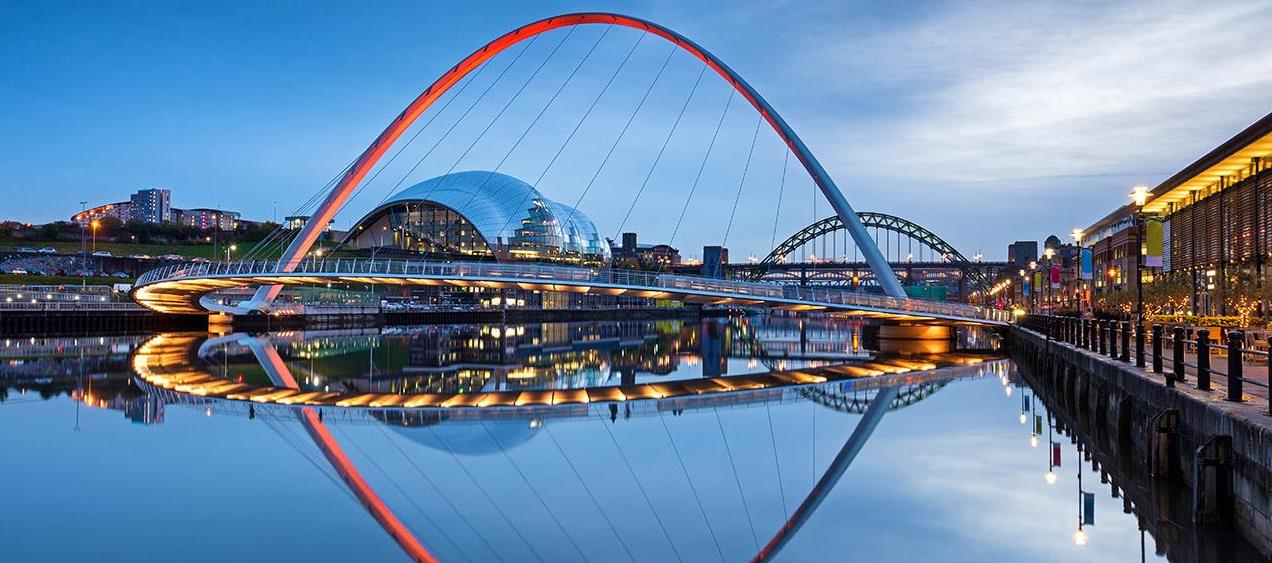
Stay at our hotel in Newcastle Quayside and enjoy the Tyne river views from your room
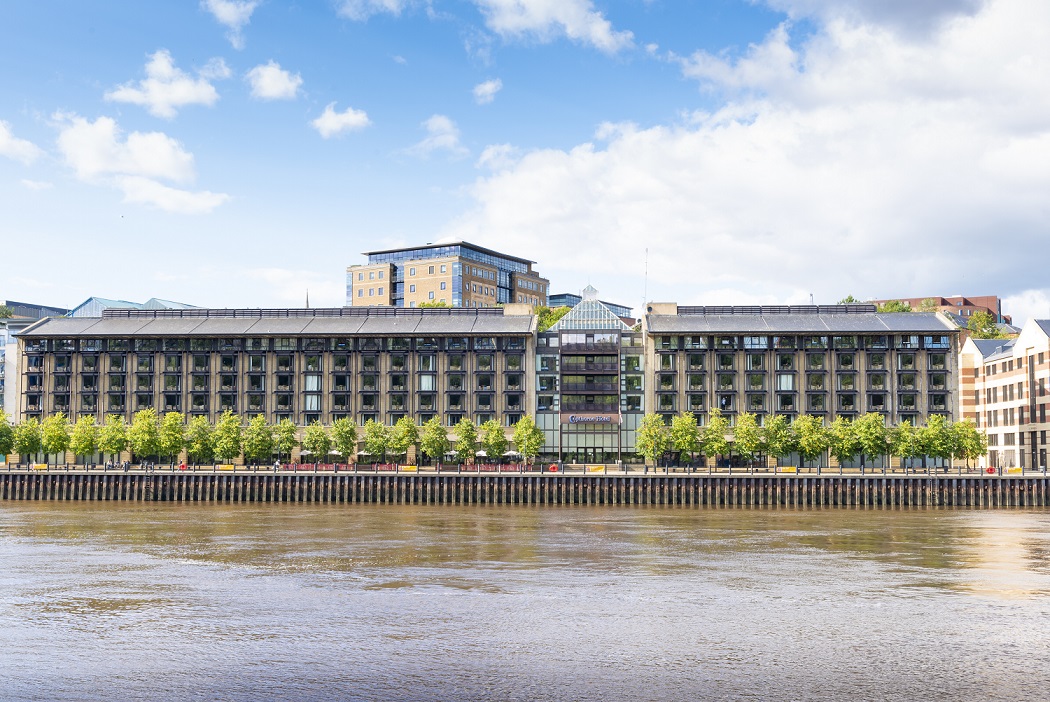
Located in Newcastle Quayside right in the heart of this vibrant city, Copthorne Hotel Newcastle is the perfect base from which to explore. As the only hotel in Newcastle city with majority of its 156 hotel rooms overlooking the River Tyne, there’s nowhere better in the city to stay with a Quayside view. The classic Newcastle Quayside hotel has a spacious feel, secure on-site parking and the popular Quay 7 Restaurant, with more restaurants, shops and nightlife just a short stroll away in the hustle and bustle of the town centre. For art and music lovers, the Copthorne Hotel Newcastle is ideally situated near the Newcastle Train Station, the Metro Radio Arena, SAGE Gateshead, and the Baltic Arts Centre. Newcastle United Football Club, Beamish Open-Air Museum, the Millennium Bridge, and Newcastle’s only Michelin star restaurant are all also within easy reach.
Dining at Copthorne Hotel Newcastle
Quay 7 Restaurant is synonymous with freshly cooked and delicious local, international and classic British cuisine. Along with great food and great company, the picturesque location of Quay 7 Restaurant boasts an outstanding waterfront view to complement your dining and drinks experience. Whether it’s for a light lunch or a quick drink with friends, Quay 7 Bar offers a great selection of beers, wines and cocktails. The bar menu has a tempting and tasty selection of fresh and delicious snacks, mains and desserts with a special focus on British style cuisine.