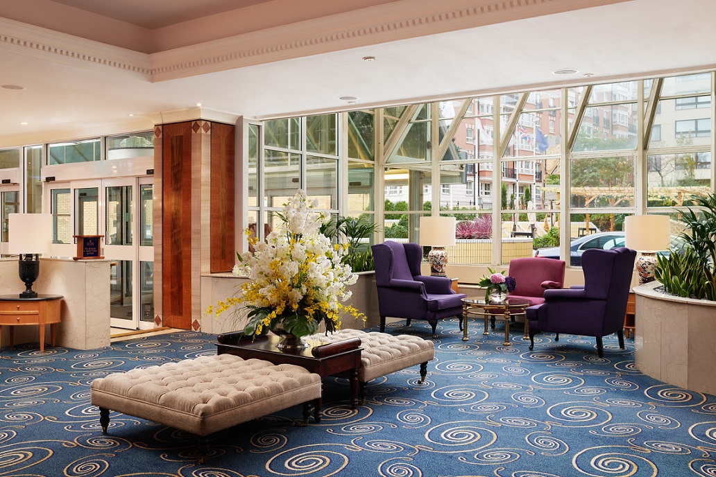
Welcome to Copthorne Tara Hotel London Kensington
Closest hotel to Kensington High Street Shopping district
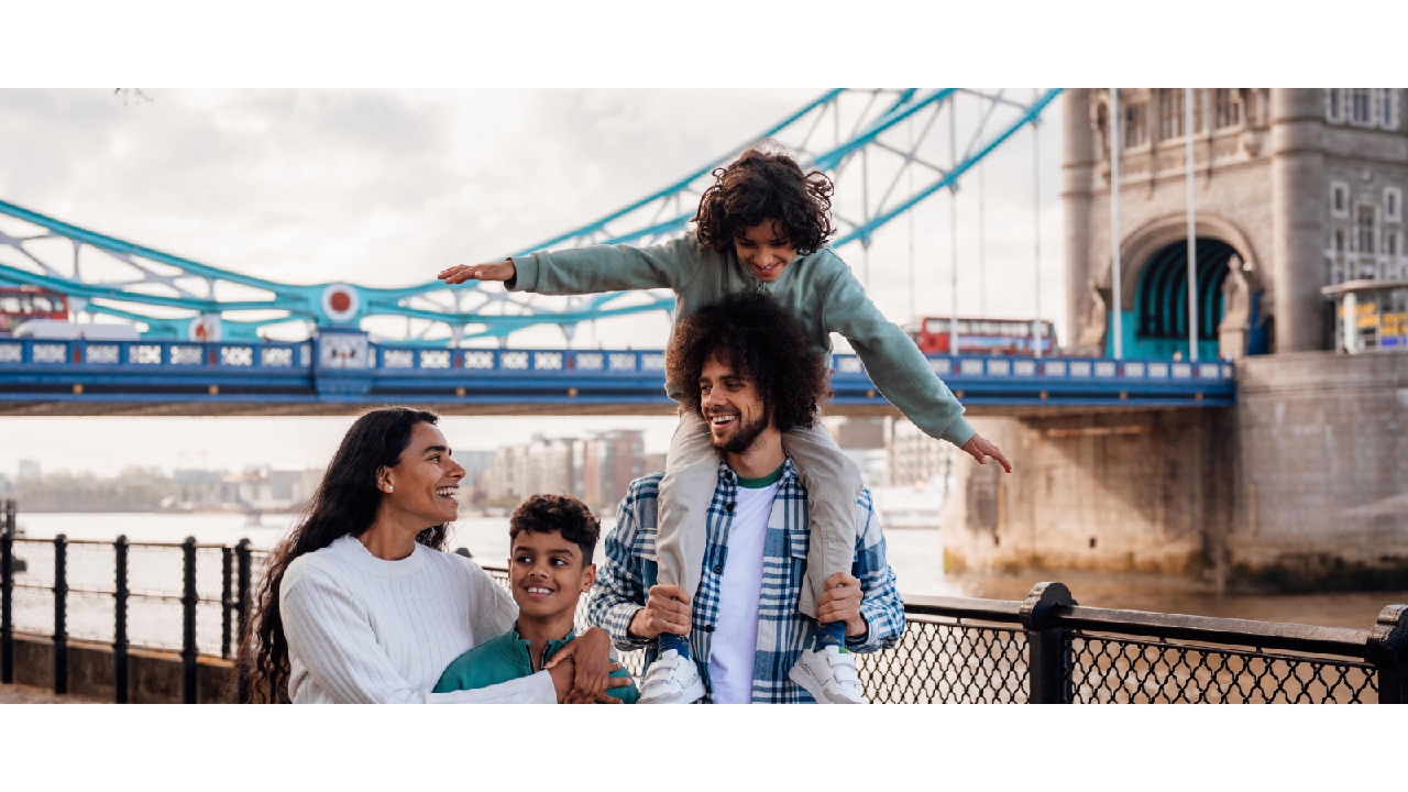
As the closest hotel to Kensington High Street, The Copthorne Tara Hotel London is perfectly situated to explore the best of Kensington. Home to 833 bedrooms, including 7 Suites and 5 Family Suites, our 4-star hotel in London offers a seamless blend of personalized service with unrivalled comfort for individual travelers, couples and families.
Discover the only Tea Lounge in Kensington offering traditional English afternoon tea and experience award winning Singaporean and Chinese dining at Millennium's signature restaurant, Bugis Street. The hotel also features a self-service 24/7 shop in the hotel lobby offering a variety of food and non-food items and travel essentials.
Our warm and comfortable hotel is just 3 minutes walking from High Street Kensington, located nearby the iconic Royal Albert Hall and the beautiful Kensington Palace Gardens. The Copthorne Tara Hotel is the ideal location from which to explore the capital.
Lunar New Year Menu
Explore our special Chinese New Year Menu featuring main courses such as Mee Goreng and Assam Seabass Fillet starting from £30 per person. To view the full Chinese New Year menu, please click here.
Valentines' Day Menu
Love is in the air at The Brasserie. Make your Valentine's Day extra special with a table for two and experience an unforgettable evening with your loved one. From 14th February to 18th February we are serving an exceptional menu that will leave a lasting impression on your hearts. To view the full romantic menu, please click here.
Please note: Bugis Street Restaurant will be refurbished and relaunched in Spring 2024, showcasing the very best of Singaporean cuisine. In order to facilitate this, the restaurant will be temporarily closed from January 2024.
We sincerely apologise for any inconvenience this may cause and appreciate your understanding and support during this time. Our team is working diligently to reopen Bugis Street in April 2024, and we can't wait to welcome you back to enjoy our reimagined restaurant.